
Tsunami waves reached Hawaii and the West Coast after one of the strongest earthquakes in recorded history, a magnitude 8.8 temblor, struck off Russia’s Kamchatka Peninsula on July 29 and triggered alerts across the Pacific, Alaska and the entire U.S. West Coast.
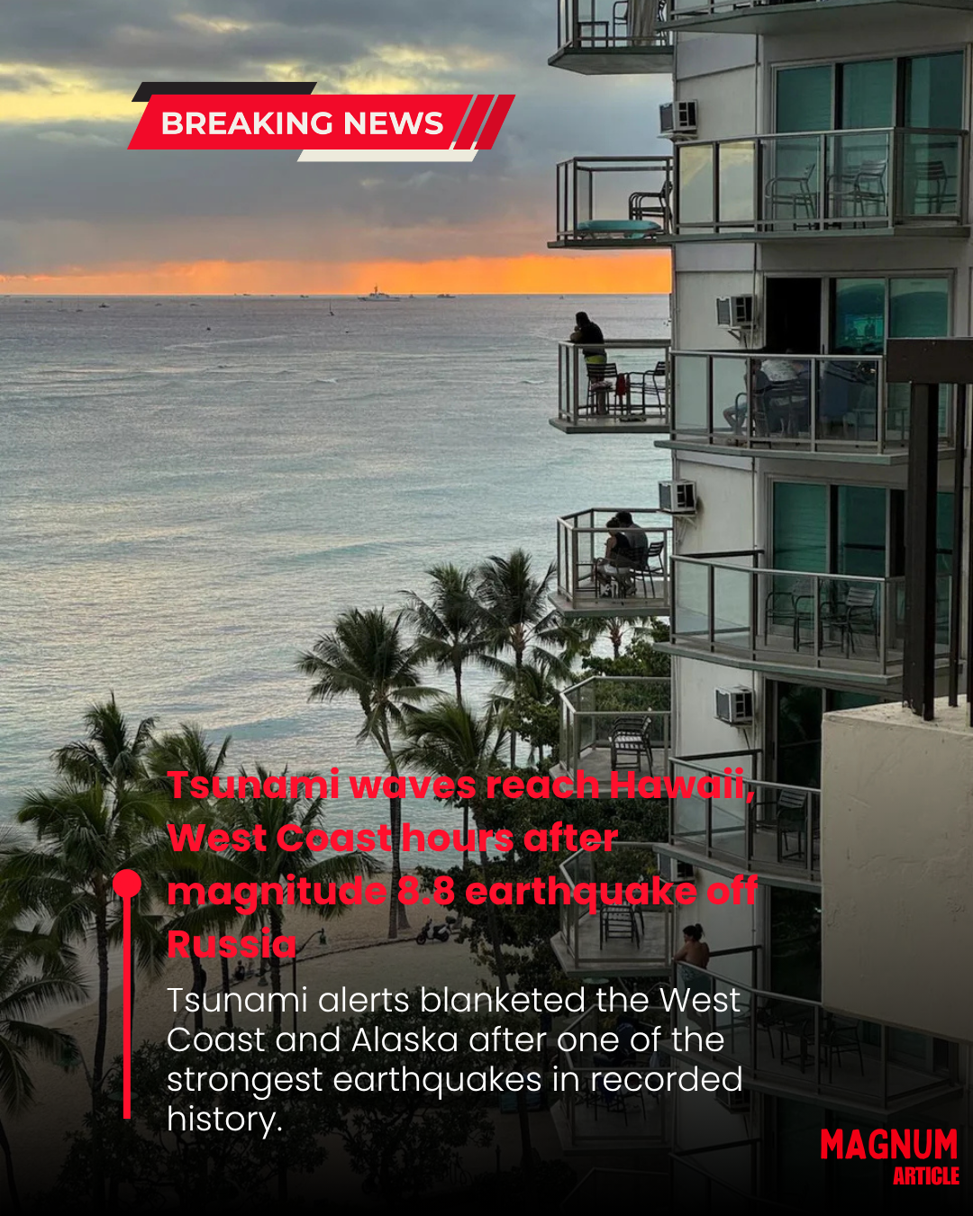
The waves began arriving in Hawaii after 7 p.m. local time, but initial observations were heartening to officials bracing for major damage in the state. By 10:45, authorities announced that the Tsunami Warning System had downgraded risk to the state (from a tsunami warning to an advisory) and that there were no major reports of damage.
“So far we have not seen a wave of consequence, which is a great relief to us. It’s kind of a blessing to not be reporting any damage,” Gov. Josh Green said at a news conference about an hour after the first wave was expected.
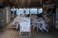
Tsunami waves began to arrive at Crescent City, California, and Humboldt Bay overnight, the weather service in Eureka posted on X at 3:47 a.m. ET on July 30. “Waves will continue to build in through the night and will become more dangerous as we approach high tide,” the office stated. “Stay away from beaches.”
Tsunamis can cause a long series of waves, extensively flood coastal areas and present dangers that continue for many hours.Crescent City is located along a stretch of the West Coast under a tsunami warning, an upgraded risk level from the rest of the West Coast. The area is considered more vulnerable to tsunamis than any other part of the West Coast based on previous events, according to the National Oceanic and Atmospheric Administration. The waves get amplified in the area and are higher in the city’s harbor than at other locations along the coast.
Meanwhile, along the Washington Coast, tsunami waves began arriving just after midnight local time, according to the Seattle weather service office, but wave height measurements weren’t yet available. The earthquake was recorded at 7:24 p.m. ET, about 78 miles east-southeast of Petropavlovsk-Kamchatsky, Russia, the U.S. Geological Survey (USGS) said. The agency said the quake was shallow, at a depth of about 12 miles.
Shortly before 11:30 p.m. ET, a tsunami advisory was upgraded to a warning for the coastal areas of California, from Cape Mendocino to the Oregon-California border, the weather service said. A tsunami warning means significant inundation is possible.
Tsunami waves in Hawaii reached amplitudes of up to 5.7 feet in Kahului, Maui, a measurement that compares the wave to height above normal sea level, the weather service said. In Hilo, the wave amplitude reached 4.9 feet.
“Look, everything has been OK so far. We haven’t seen a big wave,” Green said at around 8:30 p.m. But he said officials were concerned about an earlier pullback of water, which can signal a tsunami risk.
Tsunami Impact Summary:
🌐 Origin of Earthquake:
-
Date & Time: July 29, 7:24 p.m. ET
-
Location: 78 miles ESE of Petropavlovsk-Kamchatsky, Russia
-
Depth: ~12 miles (shallow, which increases tsunami risk)
🏝️ Hawaii:
-
First waves reached: After 7 p.m. local time.
-
Wave amplitude:
-
Kahului (Maui): up to 5.7 feet
-
Hilo: 4.9 feet
-
-
Status: Initially under tsunami warning → downgraded to advisory by 10:45 p.m.
-
Damage: No major damage reported
-
Governor Josh Green: “A blessing to not be reporting any damage.”
🌊 West Coast (U.S.):
California:
-
Crescent City & Humboldt Bay: Waves began arriving overnight.
-
High Risk Area: Crescent City, historically prone to tsunami amplification.
-
Tsunami warning in effect: From Cape Mendocino to the Oregon border
-
Warning upgraded around: 11:30 p.m. ET
Washington:
-
Wave arrival: Just after midnight local time.
-
Details: Wave heights still being assessed.


Leave A Comment